
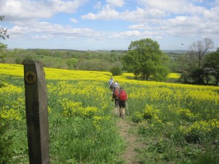
Footpaths
![]()
The Ramblers nationally are involved, not just in walking, but in maintaining and developing our rights of way.
In Derbyshire alone there are over 3000 miles (of which 619 are in our group area).
This is longer than the 2920 miles of the E8 long distance path from Cork in Ireland to Bulgaria, which uses the Trans Pennine Trail in the UK.


The ‘Ramblers Volunteer Welcome’ booklet
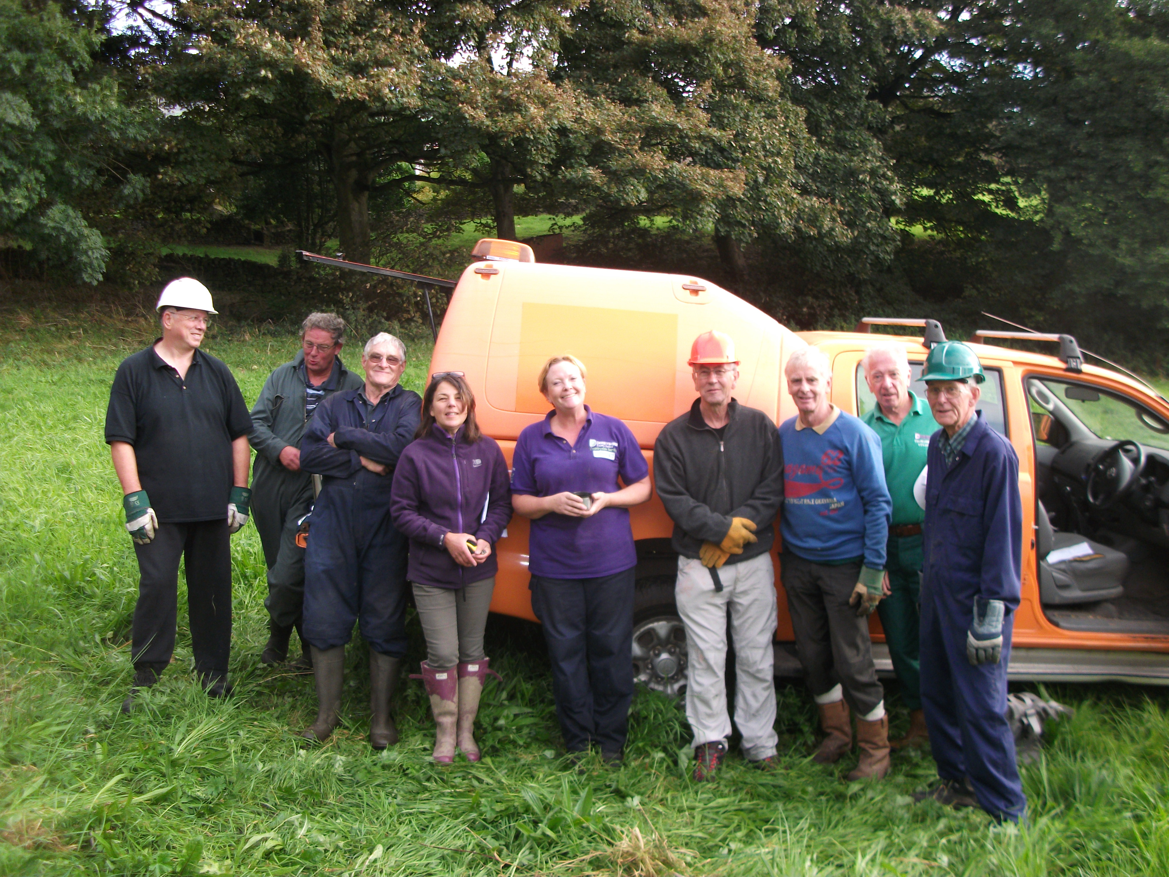
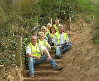
You’ll be very welcome to join our footpath inspection team – or help the Group in any other way.
As a volunteer you are right at the heart of our work to promote walking whilst protecting and improving the places people walk.

Good countryside access depends on reporting all rights of way problems.
Don’t assume they have already been reported.
Take a photo if you can and report to Derbyshire County Council
Parish Rights of Way
Rights of way divided by the 42 parishes of our group
There are however many paths, both ‘lost’ over time or used every day, that are unrecorded by the County Council, and are not legal ‘rights of way’
Pre-1949 unrecorded paths were due to be ‘extinguished’ in 2026 by legislation in the Crow Act (2000).
The cut-off in this part of the Act was removed, then re-instated to 2031, but it has now again in late 2024 been removed.
Provision for claiming the many unrecorded paths as rights of way will remain….
Who has a public right of way ? (An analysis of provision and inequity in England & Wales)
Routes to Nature (unlocking local access in England & Wales)
 Stiles & gates Stiles & gates |
 The Cycle Tracks Act (1984) gave highway authorities the powers to convert a footpath or part of a footpath into ‘a highway over which the public have a right of way on a pedal cycle (other than pedal cycles which are motor vehicles) and a right of way on foot’. The problem arises however that rights of way can be extinguished to allow this to happen and are automatically removed from the Definitive Map and thereby Ordnance Survey mapping. At a time when we are trying to establish ‘lost ways’ for mapping, we are losing some existing footpaths from Ordnance Survey maps. This cannot be in the interest of either cyclists or walkers, who both need to see their active travel routes clearly mapped ? Unrecorded Rights of Way (Proposal 31) Natural England Stakeholder Report (2010) |
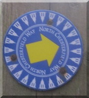
The North Chesterfield Way route
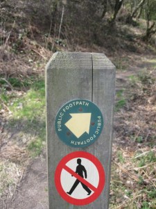
Waymarking Public Rights of Way (Natural England)
Although we’re glad many farmers follow the requirement to keep footpaths open for public use, there are unfortunately some who ignore the guidelines.
Free passage is essential at all times, but never more so than during the annual Chesterfield Area Walking Festival in May each year.

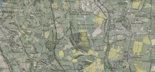
Footpath 18 between the English Heritage sites of Bolsover Castle and Sutton Scarsdale Hall
(summer, 2013)

County council guidelines on cropping & ploughing
The Path Closure Register
Do you check on proposed changes to your
rights of way ?
You can check by parish or postcode on the County Council website.
TRO Consultations
Private or ‘unadopted’ roads in England & Wales
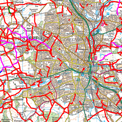
Rights of Way Maps
 Rowmaps Satellite / Streetview images can now be viewed in Google Maps where rights of way meet other highways. Click on the relevant Rowmaps path.  Open Street Map – Recorded and unrecorded paths
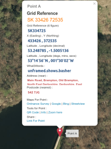 Grid Reference Finder  What3Words
Open Access Maps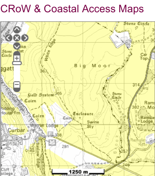 Open Access Maps |

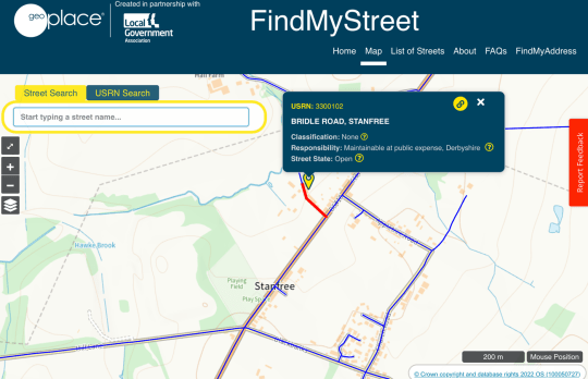
Find My Street ….
Bolsover-B4 39/1


Roanna – If you are referring to Footpath 25/1 adjacent to the Sewage Works it is a legal right of way and cannot be closed without due process. Please clarify if this is the path you refer to and is a permanent closure.
The route across the old Severn Trent wasteland in Old Whittington was blocked off this week. It’s been used as a thoroughfare for years but I’m not sure if there’s any legal entitlement. Would you possibly know?